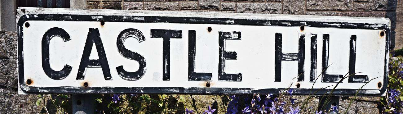
Castle Hill also known as Thorpe Row and as Mouselow Castle
Return to Old Glossop Historic Heritage Trail
I have always puzzled how Castle Hill in Old Glossop came to be called "Castle Hill" . Unfortunately none of the older villagers can come up with an explanation except for the fact that footpaths at the end of Castle Hill can be followed up to Mouslow Castle (known locally as Castle Hill.)
I have looked closely at the Google satellite photos of he area but due to poor resolution at under 1000 ft. cannot make out any signs of castle foundations in the Old Glossop area.
However stage 3 of the heritage trail is going to be aerial photos of the trail and I will be doing a grid reference map of this area from 200 feet which may show up some more information.
I am at present learning how to fly a video drone ( kindly lent to me by an ex American Military friend ) so I can make this survey.
Was there really a Norman castle within this IA hill fort or was it used as the site of some sort of hunting lodge in the C13? Does not really seem to have been a place of medieval settlement. Glossop was part of the large forest of the Peak
In the civil parish of Glossop.
In the historic county of Derbyshire.
Modern Authority of Derbyshire.
1974 county of Derbyshire.
OS Map Grid Reference: SK02789548
Latitude 53.45639° Longitude -1.95902°
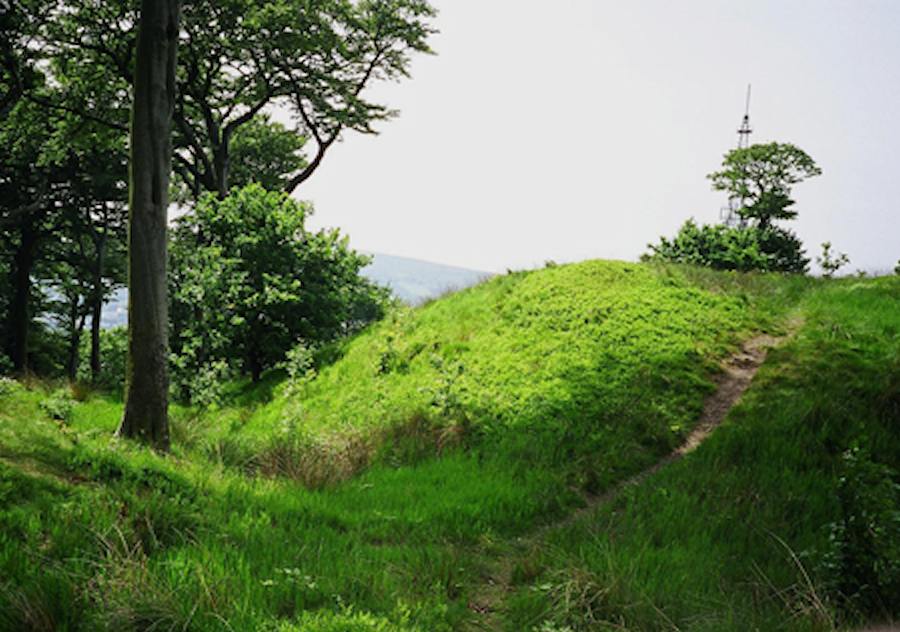
Mouselow Castle, Glossop has been described as a probable Timber Castle, and also as a probable Masonry Castle.
There are earthwork remains.
This site is a scheduled monument protected by law.
Earthwork remains of a Medieval motte and bailey castle, the bailey has been almost completely quarried away and the rest of the site is damaged and confusing because of possibility of spoil heaps, but the site was moderately well described before the quarry works began. The castle is believed to be on the site of an Iron Age hill fort with triple ramparts about 350 ft external diameter. Excavations in 1963-4 (by teacher and school children) and between 1984-1985 uncovered a ditch but no dating evidence was found. The name Castle Hill dates only from the 1780's and Watson's article of 1779. This was the site of a Celtic shrine of which some inscribed stones are now in Buxton museum. Foundations of a spiral stair were found on site and the castle may well have had masonry structures. On hill top and now well isolated from settlement although a settlement in the bailey has been suggested. (Derived from Past Scape)
Although elsewhere recorded as a motte, this monument, sometimes known as Mouselow Castle, is in fact a ring work. It includes an oval earthwork, constructed at the summit of a steep hill, enclosed on all but the south-west side by a ditch and a substantial counterscarp bank. A bailey or outer enclosure may originally have extended to the south-west but this area is not included in the scheduling as it has been heavily disturbed by quarrying. The central earthwork comprises an area measuring c.30m by 20m surrounded by 3m wide bank. The bank stands between lm and 1.5m above the interior but is between 3m and 4m high above the bottom of the surrounding ditch. Low, grass-covered mounds, visible on the north-west and south-east sides of the enclosed area, are interpreted as the sites of buildings. The ditch, which has a V-shaped profile, is c.6m wide and was found, by excavation, originally to have been 2.3m deep. The up cast material from the ditch was used to construct the counterscarp bank which is c.5m wide and up to 3m wide. A line of turf found within the latter indicates that it was heightened at some point and that the ditch must therefore have been recut. This shows there to have been at least two phases to the fortification of the site. The precise function of the ring work is unknown but it commands wide views over the surrounding moorland and overlooks the confluence of Dinting Vale and the valley of the River Etherow. (Derbyshire HER ref. scheduling report 1994)
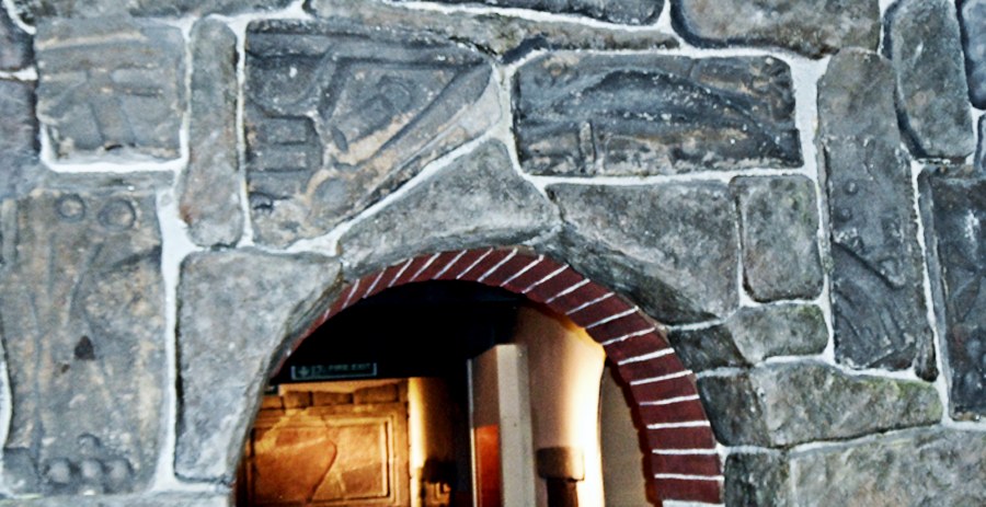
These stones are said to date back to Celtic times but the worshipers of the Old Religion (the one that was there before time) believe that they are far older than that.
The majority of residents in Glossop wether they are of the Old Religion or not abhor the fact that these were stolen by Buxton , I would like to see them returned to their true home in Glossop.
More details can be found on the following websites ..............The Cursed Stones and Mouselow Stones Update
 Castle Hill
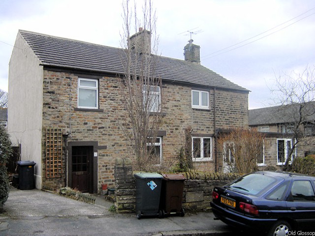 Castle Hill
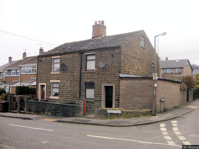 Castle Hill
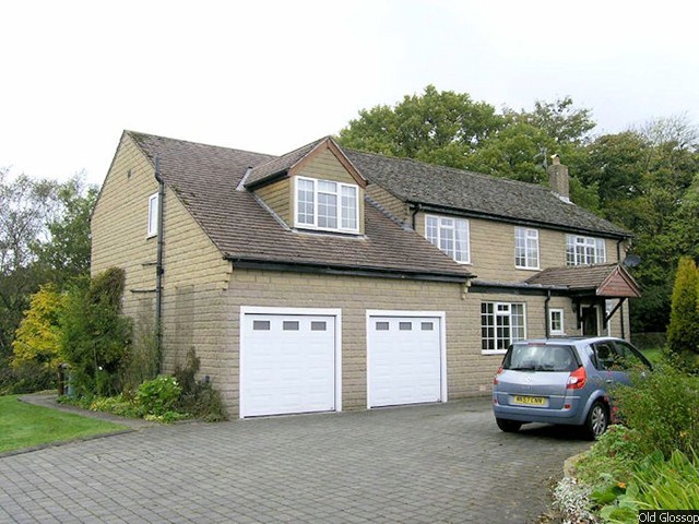 Castle Hill
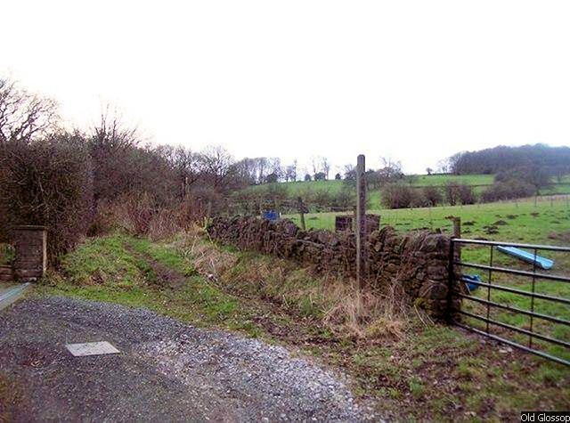 Castle Hill
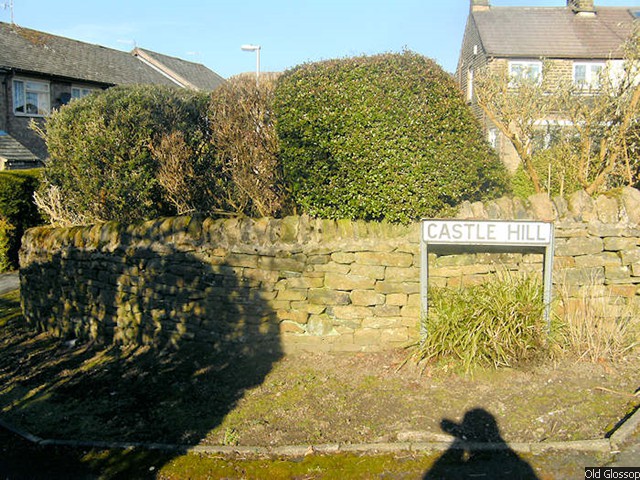 Castle Hill
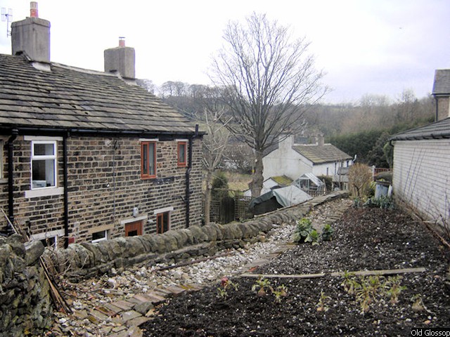 Castle Hill Backs
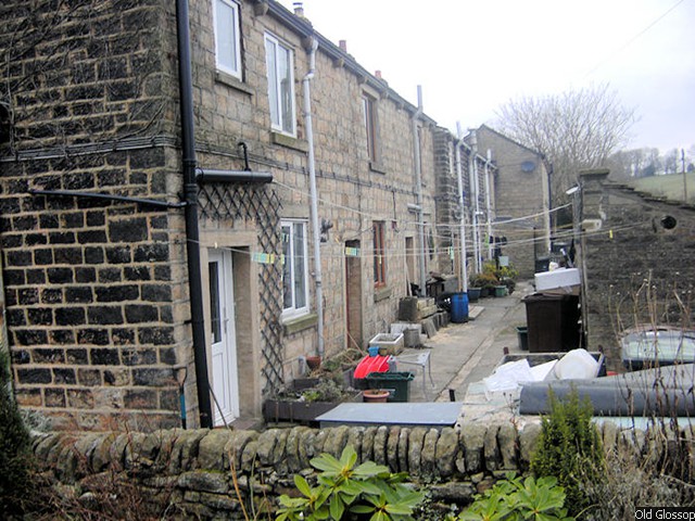 Castle Hill Backs
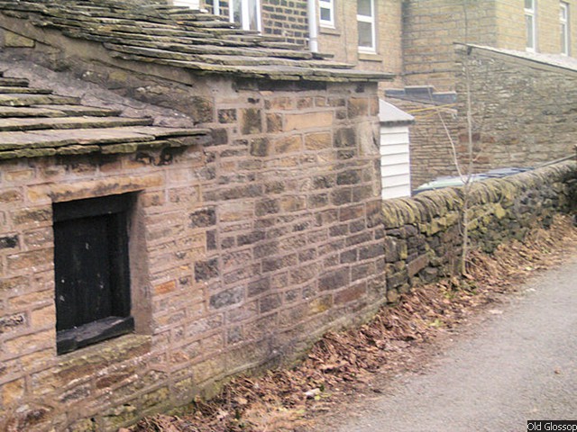 Castle Hill Backs
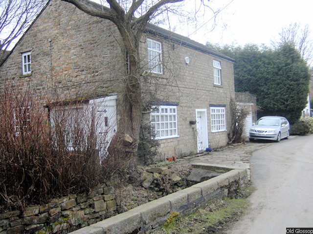
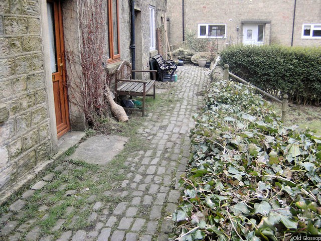 Castle Hill Fronts
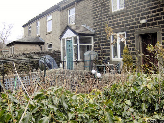 Castle Hill Fronts
 Castle Hill Fronts
 Glossop's stones in Buxton museum
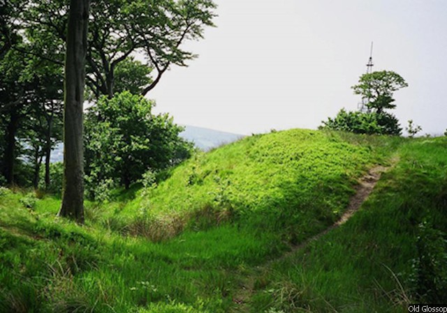 Mouselow Castle
Return to Old Glossop Historic Heritage Trail